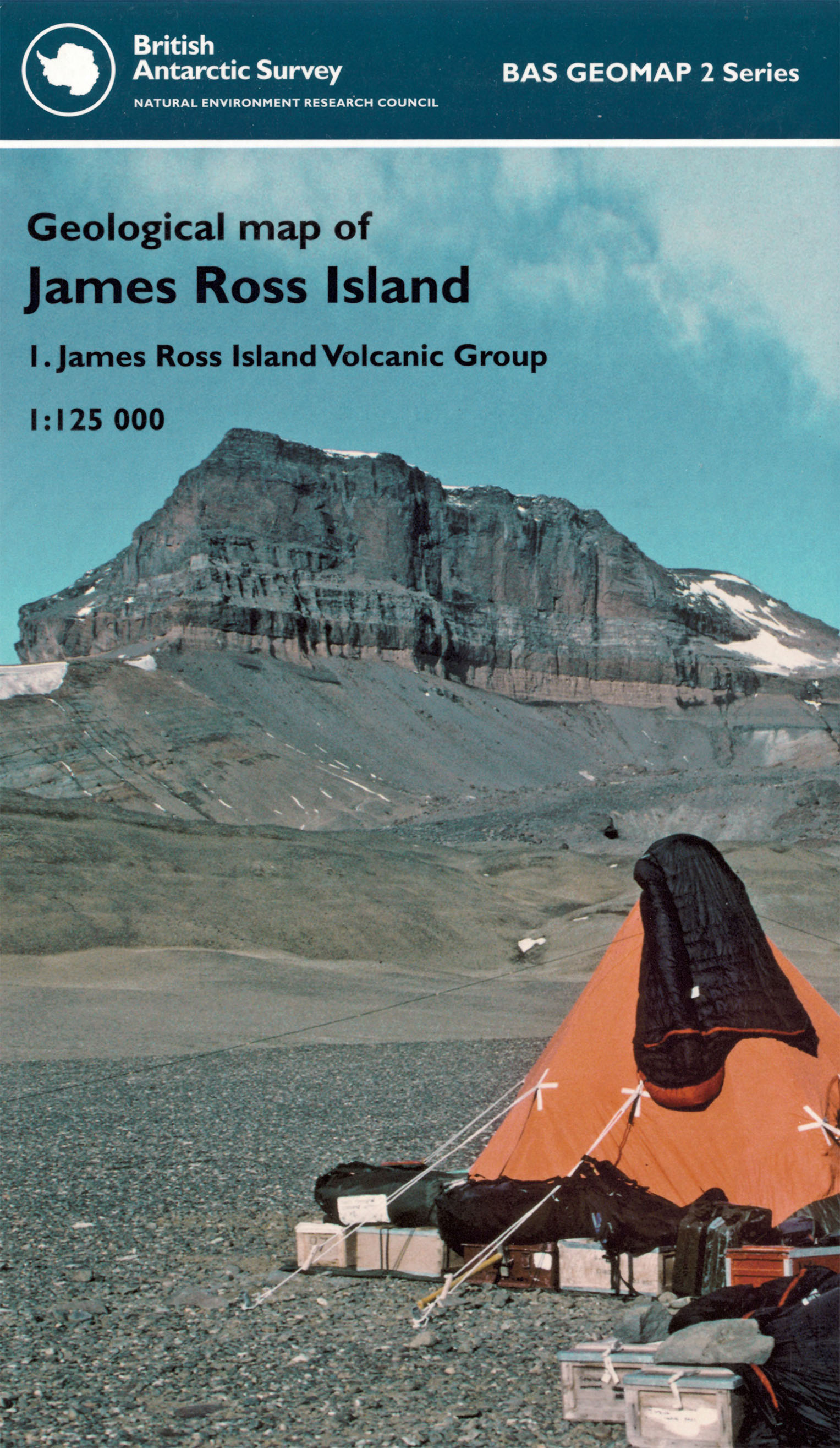
James Ross Island (BAS) [Folded Map]

Price £12.00(no VAT)
This sheet provides an updated geology of the Miocene to Holocene James Ross Island
Volcanic Group (JRIVG). The JRIVG is the largest Neogene volcanic field in the Antarctic
Peninsula region and extends over 7000 km¬2. It comprises a major shield volcano
(Mt Haddington) and numerous monogenetic flank and satellite volcanoes. Eruptions
were mainly of two types: lava-fed deltas and tuff cones. The commonest are lava-fed
deltas, a type of volcanic formation resembling a sedimentary delta but formed entirely
of volcanic rocks. The tuff cones are piles of yellowish pyroclastic rocks (lapilli tuffs)
hundreds of metres high that formed during violent explosions mainly in the sea during
ice-poor interglacial periods although it is unlikely that James Ross Island was ever
completely ice free during the past 6 m.y. [Folded Map]
Author BAS
Format Folded Map
ISBN 9780856652042
Scale 1:125 000
Version HY - H
Year Published 2013

