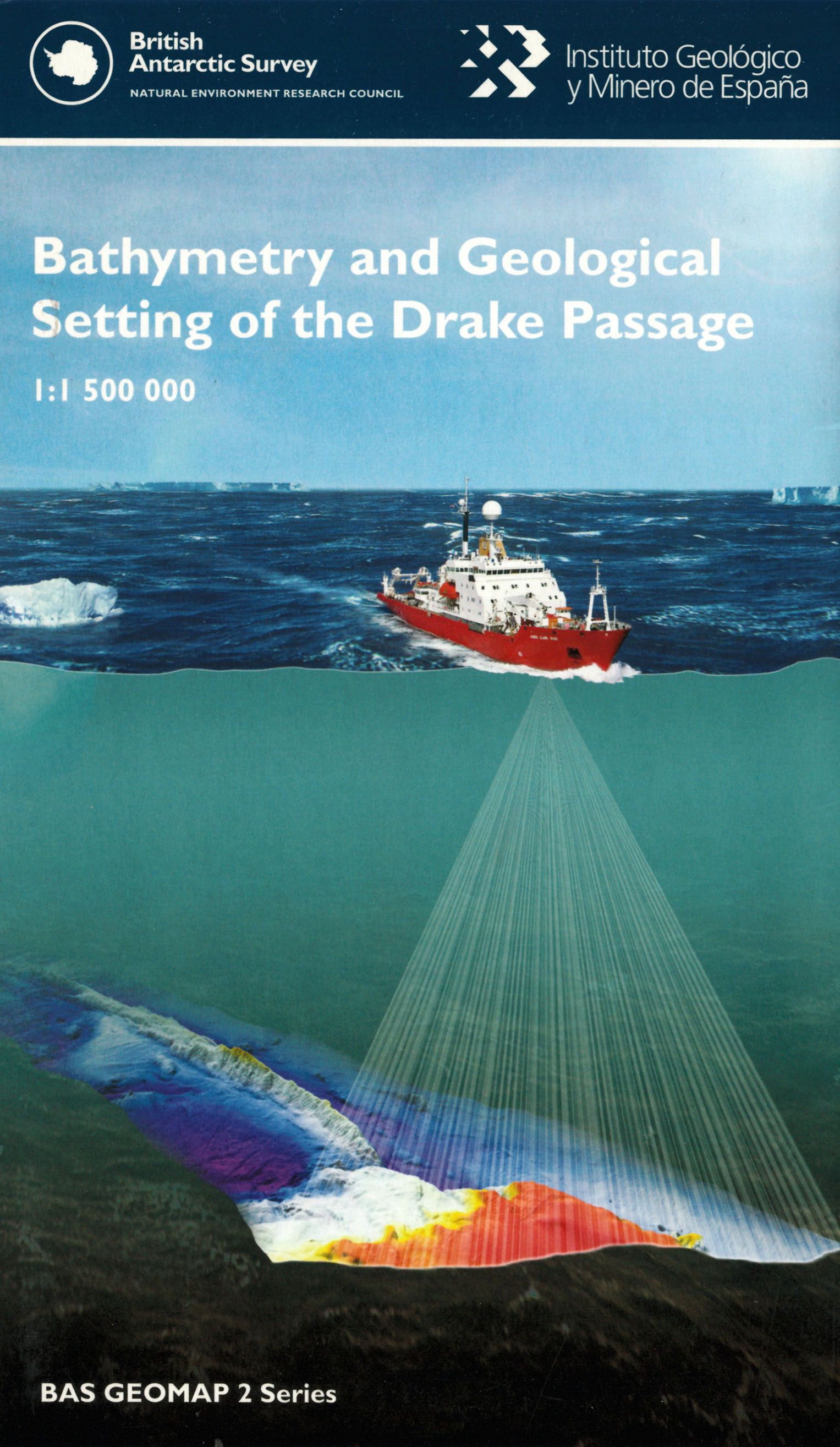
Bathymetry and Geological Setting of the Drake Passage [Folded Map]

Price £12.00(no VAT)
This map of the geology and bathymetry of the Drake Passage represents an
international collaborative effort coordinated by the Spanish Geological Survey (IGME)
and the British Antarctic Survey (BAS), working together with the Korea Polar Research
Institute (KOPRI), the Alfred Wegener Institute (AWI) and the United States Antarctic
Program (USAP). The Drake Passage is an oceanic gateway of approximately 850 km
width located between South America and the Antarctic Peninsula that connects the
southeastern Pacific and the southwestern Atlantic oceans and influences mantle flow,
oceanographic water mass exchanges and migrations of biota. [Folded Map]
Author BAS
Format Folded Map
ISBN 9780856651991
Scale 1:1 500 000
Version HY - H
Year Published 2013

