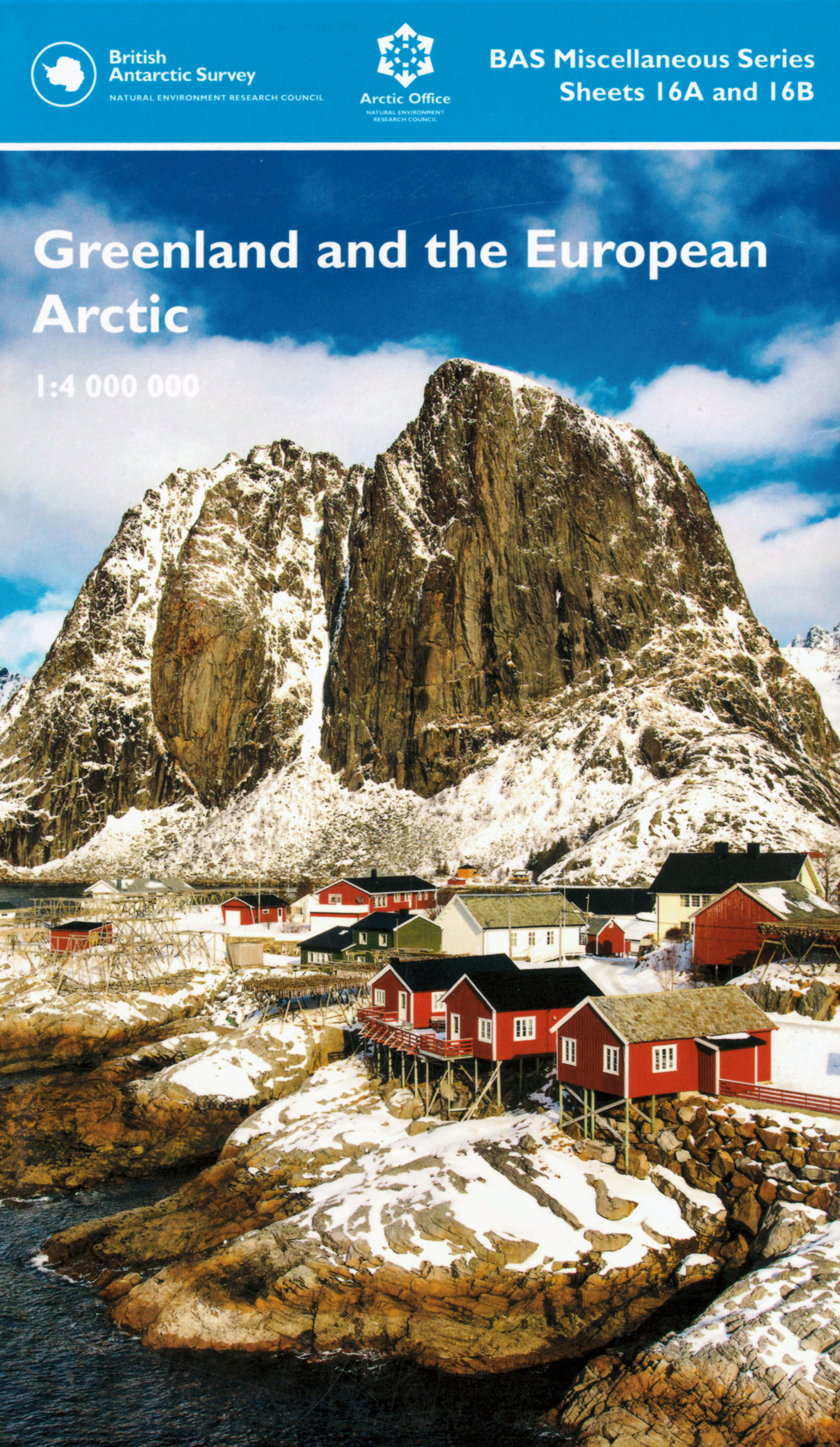
Greenland and the European Arctic [Folded Map]

Price £12.00(no VAT)
This new map is at 1:4,000,000 scale covering a region not previously covered on one
map sheet. There is a large information sheet on the reverse with topical information
about the Arctic, produced by the UK Natural Environment Research Council Arctic
Office. The map and information sheet will be an excellent resource for tour visitors,
scientists and all with an interest in the Arctic. It is printed on high-quality paper by map
printers Dennis Maps as a large format, double-sided sheet.
Side A: The map covers the eastern Canadian Arctic, Greenland, Iceland, northern
Scotland, Svalbard, Scandinavia, Finland, and the western edge of the Russian Arctic,
including Franz Josef Land. Features including glaciers, bays, islands and lakes are named,
and the extent of permanent ice is shown. The map includes minimum and maximum
sea ice extents for the region and also for the whole Arctic in a small inset map. Major
towns, places commonly visited by tour ships and scientific research stations are shown
on the map.
Side B: The reverse side features a vibrant information panel covering many aspects
of Arctic life. Topics such as polar bear conservation, indigenous people and Arctic
warming are covered, with contributions from organisations including the UK Met
Office and The World Wide Fund for Nature (WWF). [Folded Map]
Author BAS
Format Folded Map
ISBN 9780856652219
Scale 1:4 000 000
Sheet(s) Covered Sheets 16A and 16B
Version HY - H
Year Published 2019

