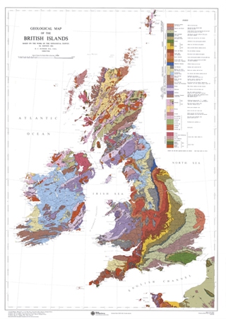
Geological map of the British Islands, coloured [Flat Map]

Price £5.95(no VAT)
Shows the geology of the 'British Islands', comprising Great Britain, Northern Ireland, Ireland, the Isle of Man and the Channel Islands (also covers part of France). This poster-sized map (approx 650 x 950mm) ) was reprinted in 2002 using digital cartography and a four colour print process. [Flat Map]
Format Flat Map
ISBN 9780751812084
Scale 1:1 584 000
Version S
Year Published 1969

