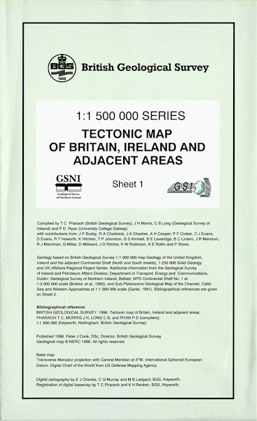
Tectonic map of Britain, Ireland and adjacent areas. Sheet 1 [Folded Map]

Price £4.95(no VAT)
This map illustrates the different mountain-building events which have affected and shaped the landscape of Britain, Ireland and adjacent areas. Tectonic events, major faults and fold structures and sedimentary basins are shown. Onshore and offshore areas are covered. [Folded Map]
Author Pharaoh, T.C.
Format Folded Map
ISBN XBIT1
Scale 1:1 500 000
Year Published 1996

