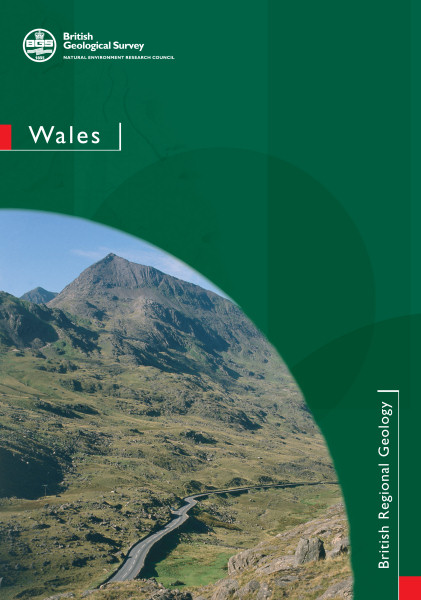
Wales. Regional Geology Guide. New Edition [Book, Softback]

Price £18.00(no VAT)
Wales has had an influence on the science of geology that is in inverse proportion to its small area. Beneath its land area and adjacent sea are representatives of all the major periods of the stratigraphical column, and some were originally defined here in the 19th and early years of the 20th century. Successive generations of geologists have gathered more and more detail and applied new techniques to achieve our current understanding of the geology.
Since its inception in 1835, the Geological Survey has been mapping and acquiring geological data in Wales. This work has been published as maps, memoirs, sheet explanations and other special publications. In addition there has been a continuous stream of publications, some seminal, from university researchers. This book draws heavily on both sources in order to present an overview of the geology and to draw attention to specific sites of interest.
In the first editions of this British Regional Geology series, Wales was covered by two books — North Wales and South Wales — published in 1935 and 1937 respectively, and there were many later new editions and impressions. The pattern of the geology across the Principality and beneath the adjacent sea bed makes it difficult to maintain presentation of the geology in two volumes about an arbitrary east–west line. The political boundary with England to the east, which loosely approximates to the line of Offa's Dyke, has been taken as the eastern boundary and the 'Welsh' localities (i.e. Lower Palaeozoic) of Shropshire are referred to only briefly. Since the first publications of this series, two main factors have profoundly influenced our understanding of the geology; neither was known to the authors of these early books. The first is the theory of plate tectonics, which was formulated through the 1960s largely as a result of the global exploration of the oceans; the second is the data acquired from exploration of the sea floor around Wales in the latter part of the 20th century, by drilling and by geophysical surveys. The underlying geology is reflected in the contrasting and spectacular features of the Welsh landscape, which attract a multitude of walkers and tourists to the Principality. The easy accessibility from the major conurbations has resulted in the growth of many field centres for natural history studies. We hope that this book will provide a geological overview to students and visitors who are interested in the geology, as well as a summary for the professional geologist, civil engineer and planner.The geology of Wales spans a very long history, from the Precambrian, through the Cambrian, Ordovician and Silurian - first identified in Wales - to much more recent Miocene rocks found in deep boreholes and, of course, glacial and post-glacial deposits. This guide describes the geological history of Wales, the evolution of its structure, its stratigraphy and the nature of the rocks and processes that have shaped the Welsh landscape.
The book is fully illustrated with maps and diagrams which help to reveal the complexities of Welsh geology. The book is aimed at geology students and advanced amateurs as well as professionals who need an overview of the geology of Wales. This guide supersedes the earlier guides for north and south Wales.
Paperback, 230pp inc index and references.
Author Howells, MF
Format Book, Softback
ISBN 9780852725849
Year Published 2008

