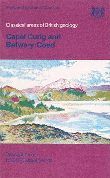
Capel Curig and Betws-y-Coed - Classical Areas Guide

Price £5.00(no VAT)
This publication describes the geology of the district covered by the 1:25 000 map SH 75, comprising the country around the villages of Capel Curig, Betws-y-Coed, Penmachno and Dolwyddelan.
Formerly in Caernarvonshire, the district now forms part of the county of Gwynedd and falls within the Snowdonia National Park. From elevations of less than 20 m above OD on the flood-plain of the Conway Valley in the east, the ground rises to 872 m at the summit of Moel Siâbod in the west. It is for the most part high moorland, much of it craggy, and is utilised mainly for sheep grazing and afforestation. Arable land is restricted to the valley floors flanking the rivers Llugwy, Lledr and Machno, all of which drain eastwards to join the River Conway.
Author Howells, M.F.
ISBN 0118807838
Sheet(s) Covered SH75
Year Published 1978

