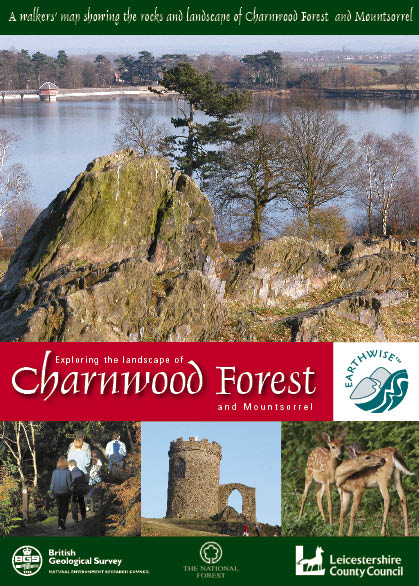
Exploring the landscape of Charnwood Forest and Mountsorrel

Price £12.00(no VAT)
With its distinctive scenery of rolling hills and stark, craggy knolls, Charnwood Forest in Leicestershire has long been regarded as one of the classic areas of British geology.
This book and map pack holds a 1:25 000 scale geological map while the accompanying booklet explains the events that have happened in this area during the past 600 million years of Earth history.
Eleven linked walks take the visitor to spectacular exposures of rocks formed close to ancient Precambrian volcanoes, when the landscape of Leicestershire resembled today’s Montserrat. These walks also show evidence for what was happening in the surrounding seas of the time, where feather-like organisms now known as Britain’s oldest fossils once flourished. Also to be seen are traces of former Carboniferous coral reefs, Triassic deserts and the Arctic conditions of the last Ice Age.
Each walk is shown on the geological map, which also shows photographs of the most common rock types found in the area. Together, the book and map offer a real understanding of why the Charnwood area looks the way it does today. Specially designed for the walker, this pack assumes no prior knowledge of geology but presents the information clearly, with no jargon. There is something here for everyone, from the Sunday stroller to the keen walker, as well as both amateur and professional geologists.
Author Ambrose, K et al
ISBN 9780852725702
Year Published 2007

