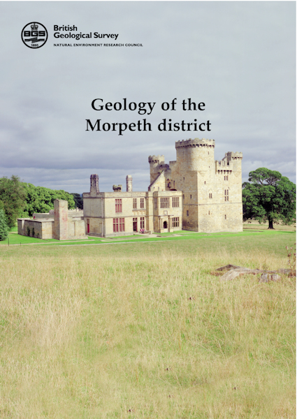
Morpeth district - Sheet Explanation for sheet E14

Price £9.00(no VAT)
Sheet Explanations provide a brief description and interpretation of the geology of the relevant BGS 1:50 000 scale map sheet area. More detailed geological information for the same area is available via the Sheet Descriptions.
Sheet Explanations are printed A5 booklets and are available either singly, or as a pack together with the relevant 1:50 000 scale map, where this map is available.
The area described in this publication lies in south-central Northumberland, in the NE of England. Carboniferous rocks, deposited around 340 and 300 million years ago, underlie land which rises gradually westwards from the undulating coastal plain bordering the North Sea. Drainage is entirely to the North Sea. The eastern part of the district forms part of the Northumberland Coalfield and, although deep mining has now ended, exploration for further opencast reserves is understood to be in progress.
Author B Young, D J D Lawrence
ISBN 0852724276
Sheet(s) Covered E014
Year Published 2002

