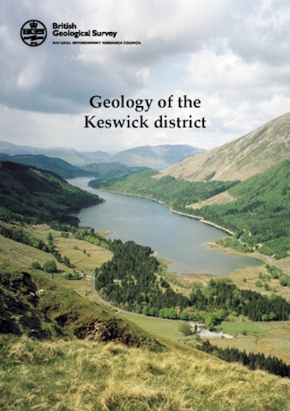
Keswick district - Sheet Explanation for sheet E29

Price £9.00(no VAT)
Sheet Explanations provide a brief description and interpretation of the geology of the relevant BGS 1:50 000 scale map sheet area. More detailed geological information for the same area is available via the Sheet Descriptions.
Sheet Explanations are printed A5 booklets and are available either singly, or as a pack together with the relevant 1:50 000 scale map, where this map is available.
The Keswick district lies in the northern part of the Lake District National Park. The topography is dominated by the highest fells, Skiddaw and Helvellyn. The lakes of Loweswater, Crummock Water, Buttermere, Derwent Water and Thirlmere lie within the book's area. After a long history, mining and quarrying have now ceased but the evidence of these activities can clearly be seen in the landscape. The solid geology is dominated by 495 to 450 million years old sedimentary and volcanic rocks of Ordovician age but in the extreme north-east of the district are areas of younger rocks (Devonian and early Carboniferous). This resurvey has vastly improved the understanding of the lithostratigraphy - especially of the Skiddaw Group. New formations and members in the overlying Borrowdale Volcanic Group are also described.
Author Woodhall, D.G.
ISBN 085272375X
Sheet(s) Covered E029
Year Published 2001

