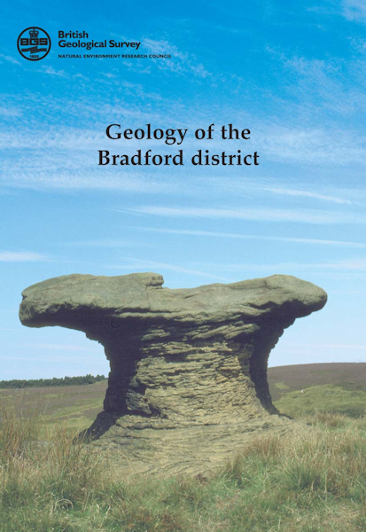
Bradford district map pack - Sheet Explanation for sheet E69 plus 1:50 000 (S&D) map [Booklet and Map Pack]

Price £18.00(no VAT)
This pack contains a Sheet Explanation for the district and the complementary 1:50 000 scale Bedrock Geology and Superficial Deposits map (folded). Sheet Explanations provide a brief description and interpretation of the geology of the relevant map sheet area.
The A5 Sheet Explanation booklet and the map are supplied in a transparent wallet. While it is possible to buy the map and Sheet Explanation separately, buying them together as map pack saves you £3.
The district lies predominantly within the county of West Yorkshire, principally in the City of Bradford Metropolitan District. It also includes small areas of Calderdale District in the south-west, the Leeds District in the east, and the county of North Yorkshire in the north. The main population centres are the conurbation of Bradford, Shipley and west Leeds; smaller towns in the valleys of the rivers Aire, Wharfe and Worth include Keighley, Bingley, Ilkley, Otley and Skipton. The population centres are separated by areas of agricultural land, with scattered villages, and expanses of moorland.
The landscape of the Bradford district is dominated by the upland moors and 'grit' edges of the Millstone Grit. This harsh landscape is credited with inspiring the writings of the Brontë sisters and continues to attract visitors to the district. [Booklet and Map Pack]
Author Waters, C.M.
Format Booklet and Map Pack
ISBN XEM069SEM
Sheet(s) Covered E069
Year Published 2000

