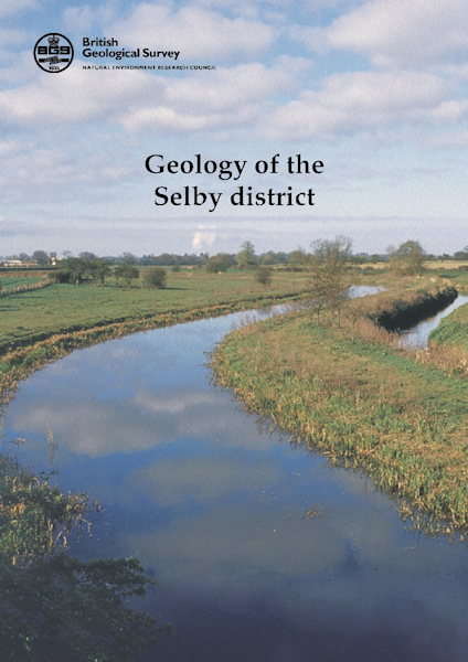
Selby district - Sheet Explanation for sheet E071 [Booklet]

Price £9.00(no VAT)
Sheet Explanations provide a brief description and interpretation of the geology of the relevant BGS 1:50 000 scale map sheet area. More detailed geological information for the same area is available via the Sheet Descriptions.
Sheet Explanations are printed A5 booklets and are available either singly, or as a pack together with the relevant 1:50 000 scale map, where this map is available.
The district covered in this Sheet Explanation extends from Selby in the south to part of York in the north-west. Pocklington is in the north-east corner of the asrea, while Holme-on-Spalding-Moor is towards the south-east. The low-lying landscape of the Vale of York includes some of the best-preserved lowland glacial topographical features in the UK. The story of the landscape dates mainly from the last ice age and is one of glaciers advancing into progracial lakes, leaving moraines on their retreat. Beneath the superficial glacial deposits, the bedrock geology records a history of deserts, warm seas and coal swamps. The low-lying nature of the alluvial and glacial deposits means this district is prone to flooding. [Booklet]
Author Ford, JR
Format Booklet
ISBN 0852726325
Sheet(s) Covered E071
Year Published 2010

