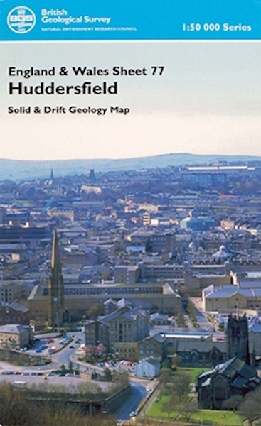
Huddersfield district map pack - Sheet Explanation for sheet E77 plus 1:50 000 (S&D) map [Booklet and Map Pack]

Price £18.00(no VAT)
This pack contains a Sheet Explanation for the district and the complementary 1:50 000 scale Bedrock Geology and Superficial Deposits map (folded). Sheet Explanations provide a brief description and interpretation of the geology of the relevant map sheet area.
The A5 Sheet Explanation booklet and the map are supplied in a transparent wallet. While it is possible to buy the map and Sheet Explanation separately, buying them together as map pack saves you £3.
The district lies within the county of West Yorkshire and includes large areas of the Metropolitan Boroughs of Calderdale and Kirklees, as well as parts of the cities of Leeds, Wakefield and Bradford; it includes the former coalfield area in the eastern part of the district. The Pennine moorlands and valleys in the west are more sparsely populated.
The bedrock is composed entirely of sedimentary strata deposited during the later part of the Carboniferous Period, about 323 to 311 million years ago. The oldest strata proved in the Huddersfield district are of the Namurian (Upper Carboniferous) Millstone Grit Group, which crops out in the west where it forms the high moorlands of Blackstone Edge, Buckstones Moss, Great Manshead Hill, Withens Moor and Midgley Moor. The high silica and low lime content of the rocks results in a poor acidic soil, which supports the characteristic Pennine vegetation of heather and sparse grass on a blanket of peat. Sandstones, such as the Rough Rock or Huddersfield White Rock, form west-facing escarpments with extensive dip slopes that reflect the gentle easterly dip of the strata. The Millstone Grit Group is overlain by the Coal Measures Group that crops out over the eastern part of the district and generally forms lower ground, although sandstones such as the Elland Flags and Thornhill Rock form imposing escarpments. The Coal Measures Group, in addition to coal, has yielded abundant minerals such as fireclay, brickclay, pyrite, ganister, ironstone and dimension stone. [Booklet and Map Pack]
Format Booklet and Map Pack
ISBN XEM077SEM
Sheet(s) Covered E077
Year Published 2005


