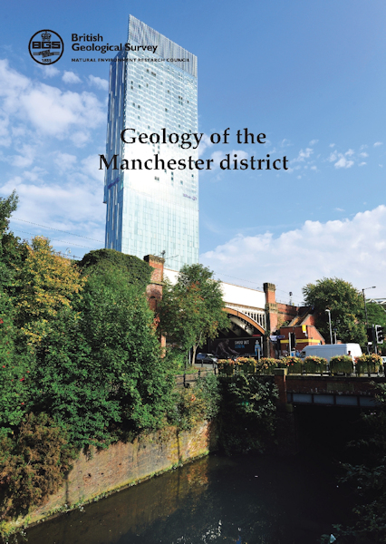
Manchester district - Sheet Explanation for sheet E85

Price £9.00(no VAT)
Sheet Explanations provide a brief description and interpretation of the geology of the relevant BGS 1:50 000 scale map sheet area. More detailed geological information for the same area is available via the Sheet Descriptions.
Sheet Explanations are printed A5 booklets and are available either singly, or as a pack together with the relevant 1:50 000 scale map, where this map is available.
The geology of Manchester, described in this Sheet Explanation, is one of the principal factors that underpinned economic growth in the region during the 1800s. The large-scale industrialisation that took place needed a supply of natural resources, including coal, brick clay, limestone and ironstone, many of which were sourced locally. The expansion of the city and surrounding towns was facilitated by the construction of rail and canal networks, which included the Bridgewater Canal, the first of the industrial age built in 1763 to transport coal. The Liverpool and Manchester Railway, the world's first intercity passenger railway, was built across the challenging ground conditions of Chat Moss peat bog under the guidance of George Stephenson in 1829. A contraction in traditional industries saw deep coal mining cease in the 1970s; currently there is limited mineral extraction, including coal and sand and gravel, with groundwater extracted for use in engineering processes and brewing.
Author Crofts, R G
ISBN 9780852727010
Sheet(s) Covered E085
Year Published 2012

