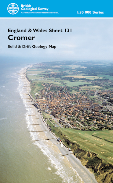
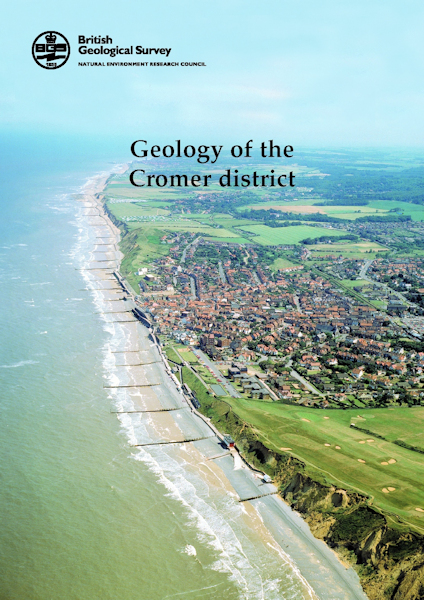
Cromer district map pack - Sheet Explanation for sheet E131 plus 1:50 000 (S&D) map [Booklet and Map Pack]

Price £18.00(no VAT)
This pack contains a Sheet Explanation for the district and the complementary 1:50 000 scale Bedrock Geology and Superficial Deposits map (folded). Sheet Explanations provide a brief description and interpretation of the geology of the relevant map sheet area.
The A5 Sheet Explanation booklet and the map are supplied in a transparent wallet. While it is possible to buy the map and Sheet Explanation separately, buying them together as map pack saves you £3.
The area described in this publication lies in Norfolk in eastern England, from Gunthorpe in the south-west to the coastal settlements of Morston and Blakeney in the north-west and Overstrand and Sidestrand in the east. The most prominent topographical feature in Norfolk, the Cromer Ridge, extends east-west across much of the northern part of the district and forms the highest point in the county. The geology is closely linked to two major issues within the district - coastal erosion and flooding. From the village of Weybourne eastwards, the alternation of poorly consolidated sands and clays with perched water tables within the cliffs leads to numerous small falls and larger slips with the subsequent removal of the slipped material during high tides and storms. To the west of Weybourne, extensive areas of saltmarsh are protected from the sea by a gravel ridge, currently maintained artificially. [Booklet and Map Pack]
Author Moorlock, B.S.P. et al
Format Booklet and Map Pack
ISBN XEM131SEM
Sheet(s) Covered E131
Year Published 2003


