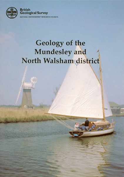
Mundesley & North Walsham district - Sheet Explanation for sheet E132/148

Price £9.00(no VAT)
Sheet Explanations provide a brief description and interpretation of the geology of the relevant BGS 1:50 000 scale map sheet area. More detailed geological information for the same area is available via the Sheet Descriptions.
Sheet Explanations are printed A5 booklets and are available either singly, or as a pack together with the relevant 1:50 000 scale map, where this map is available.
The area described in this Sheet Explanation lies in Norfolk, from Wroxham in the south-west to the coastal settlements of Mundesley in the north and Scratby in the south-east. Much of the wealth of the district stems from the fertile soils developed on the underlying Quaternary sediments. The now flooded mediaeval turbaries (peat diggings) have been linked to the rivers by artificial channels to form the Broads; the resulting network of navigable waterways attracts large numbers of tourists each year. The geology is closely linked to two major issues within the district - coastal erosion and flooding. The sea cliffs of the district are comprised of an alternating sequence of clay, sand and (locally), gravel. After prolonged or heavy rain these are prone to landslip and collapse, followed by erosion of the slipped material by the sea. Areas of active erosion vary through time. Recently, sea defence work has been commissioned whixh involves dumping massive blocks of imported rock along the backshore and offshore, as nine distinct artificial reefs.
Author B S P Moorlock et al
ISBN 0852724381
Sheet(s) Covered E132
Year Published 2002

