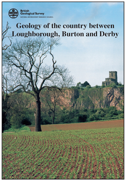
Loughborough. Sheet Description for sheet E141 (POD) [Report]

Price £41.00(no VAT)
Sheet descriptions provide detailed, in-depth geological information for the relevant BGS 1:50 000 scale map sheets. Extensive references and information sources are cited.
They are A4 print-on-demand publications which are supplied bound in clear covers.
Overlooking the district in the south-east are the uplands of Charnwood Forest, a region of numerous craggy exposures that reveal a predominantly volcaniclastic sequence, derived by eruptions from a volcanic arc that was active in Precambrian times, over 600 million years ago. Cambrian rocks are present, although very poorly exposed, on the eastern side of Charnwood Forest, and have been proved in a single borehole farther north, near Ticknall. Together with the Precambrian rocks they were folded, cleaved and mildly metamorphosed during the Acadian (Siluro–Devonian) orogeny. Mainly Carboniferous and Triassic strata occupy the remainder of the map area, with outliers of Lower Jurassic rocks in the extreme east. In many parts of the district, however, superficial Quaternary deposits cover the bedrock. [Report]
Author J.Carney
Format Report
ISBN 0852723881
Reprographic DP
Sheet(s) Covered E141
Year Published 2001

