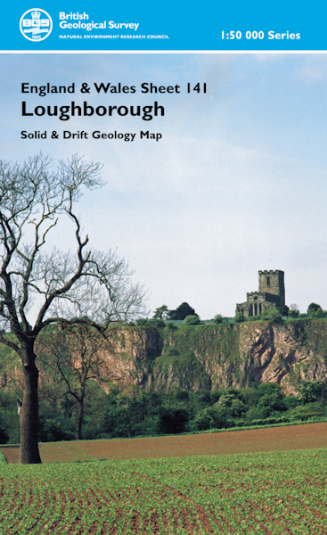
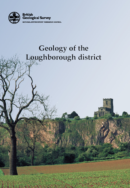
Loughborough district map pack - Sheet Explanation for sheet E141 plus 1:50 000 (S&D) map [Booklet and Map Pack]

Price £18.00(no VAT)
This pack contains a Sheet Explanation for the district and the complementary 1:50 000 scale Bedrock Geology and Superficial Deposits map (folded). Sheet Explanations provide a brief description and interpretation of the geology of the relevant map sheet area.
The A5 Sheet Explanation booklet and the map are supplied in a transparent wallet. While it is possible to buy the map and Sheet Explanation separately, buying them together as map pack saves you £3.
The Loughborough district lies in the English East Midlands. Ashby-de-la-Zouch lies to the south, Burton Upon Trent lies to the west and Loughborough is in the east of the book's area.The oldest rocks in the area which form the bedrock geology are of Precambrian age and outcrop in Charnwood Forest; these belong to the Precambrian volcanic and volcaniclastic sequence of the Charnian Supergroup. The Acadian orogeny (Silurian - Devonian) was followed by erosion and both are responsible for the unconformity which separates the Precambrian basement from the overlying Dinantian rocks. The commercially-important Westphalian Coal Measures outcrop in the south of the district although extraction today is limited to a few opencast workings. Triassic rocks are widespread - the Mercia Mudstone Group outcrops widely and gives rise to the red clayey soils of this district. [Booklet and Map Pack]
Format Booklet and Map Pack
ISBN XEM141SEM
Scale 1:50 000
Sheet(s) Covered E141
Year Published 2002


