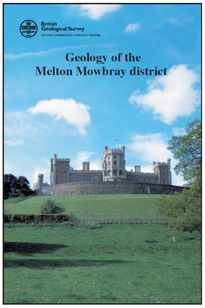
Melton Mowbray. Sheet Description for sheet E142 (POD) [Report]

Price £44.00(no VAT)
Sheet descriptions provide detailed, in-depth geological information for the relevant BGS 1:50 000 scale map sheets. Extensive references and information sources are cited.
They are A4 print-on-demand publications which are supplied bound in clear covers.
The district lies mainly within the Leicestershire, Nottinghamshire and Rutland administrative areas, but its extreme north-eastern corner also includes a small part of Lincolnshire. Melton Mowbray is the main town, and there are smaller population centres at Keyworth, Barrow upon Soar, Ruddington and Clifton. Outside of these, the land is given over to arable and livestock farming, the latter particularly important on the flood-prone valley floors of the rivers Soar and Wreake. [Report]
Author Carney, J.
Format Report
Reprographic DP
Sheet(s) Covered E142
Year Published 2002

