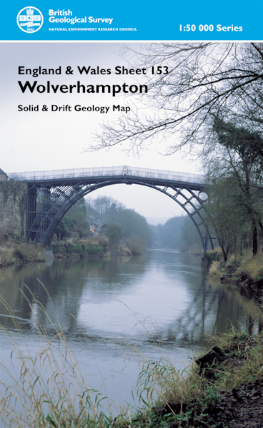
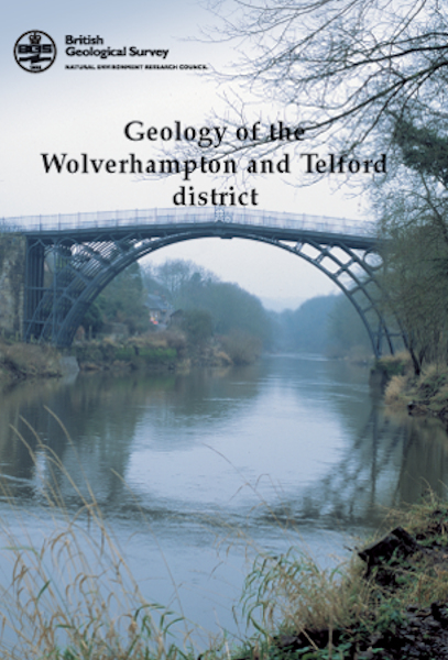
Wolverhampton & Telford district map pack - Sheet Explanation for sheet E153 plus 1:50 000 (S&D) map

Price £18.00(no VAT)
This pack contains a Sheet Explanation for the district and the complementary 1:50 000 scale Bedrock Geology and Superficial Deposits map (folded). Sheet Explanations provide a brief description and interpretation of the geology of the relevant map sheet area.
The A5 Sheet Explanation booklet and the map are supplied in a transparent wallet. While it is possible to buy the map and Sheet Explanation separately, buying them together as map pack saves you £3.
The district described in this new publication extends from the edge of the Black Country conurbations to the rural Green Belt on the Staffordshire-Shropshire borders, and includes the spectacular Ironbridge Gorge, birthplace of the Industrial Revolution. The geological record of this district spans 560 million years; the oldest solid rocks are Precambrian volcanics, erupted in a polar setting, while the youngest are red-beds, laid down in an inland arid environment, when Britain lay just north of the Equator.
Author Bridge, D McC and Hough, E
ISBN XEM153SEM
Sheet(s) Covered E153
Year Published 2003


