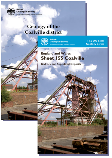
Coalville district map pack - Sheet Explanation for sheet E155 and 1:50 000 (B&Sup) map

Price £18.00(no VAT)
This pack contains a Sheet Explanation for the district and the complementary 1:50 000 scale Bedrock Geology and Superficial Deposits map (folded). Sheet Explanations provide a brief description and interpretation of the geology of the relevant map sheet area.
The A5 Sheet Explanation booklet and the map are supplied in a transparent wallet. While it is possible to buy the map and Sheet Explanation separately, buying them together as map pack saves you £3.
The Coalville district lies to the west of Leicester, and is mainly occupied by undulating countryside interspersed with small villages. In the north, coal-mining settlements developed around Coalville and Measham, and in the north-east lies the higher ground of Charnwood Forest where the oldest rocks in the area, the Charnian Supergroup, outcrop. The Coalville district is a major producer of hard rock aggregates and has an important brick manufacturing industry, using local clay and mudstone. Deep coal mining has ceased but surface mining continues. The geological, mineral extraction and industrial legacy have left many earth-science related planning issues which need consideration prior to development.
Author Strange, P. J. et al
ISBN 6000006683
Scale 1:50 000
Sheet(s) Covered E155
Year Published 2010

