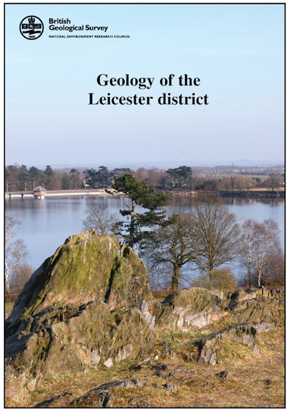
Leicester - Sheet Description for sheet E156 (POD) [Report]

Price £37.00(no VAT)
Sheet descriptions provide detailed, in-depth geological information for the relevant BGS 1:50 000 scale map sheets. Extensive references and information sources are cited.
They are A4 print-on-demand publications which are supplied bound in clear covers.
This Sheet Description provides a brief account of the geology of the district covered by Geological Sheet 156 Leicester. The district encompasses the whole of the Leicester conurbation and extends eastwards to Whissendine and Horninghold, northwards to Mountsorrel and southwards to Whetstone. It includes the eastern fringe of Charnwood Forest, a large tract of rural Leicestershire and, in the east, part of Rutland [Report]
Author Carney, J.
Format Report
ISBN 9780852725733
Reprographic DP
Sheet(s) Covered E156
Year Published 2009

