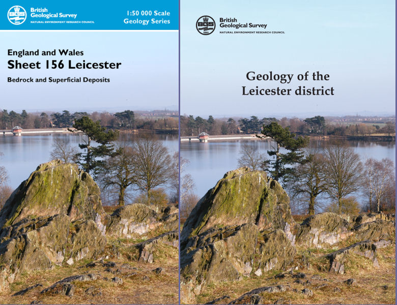
Leicester district map pack - Sheet Explanation for sheet E156 plus 1:50 000 (B&Sup) map

Price £18.00(no VAT)
This pack contains a Sheet Explanation for the district and the complementary 1:50 000 scale Bedrock Geology and Superficial Deposits map (folded). Sheet Explanations provide a brief description and interpretation of the geology of the relevant map sheet area.
The A5 Sheet Explanation booklet and the map are supplied in a transparent wallet. While it is possible to buy the map and Sheet Explanation separately, buying them together as map pack saves you £3.
The city of Leicester, in the English East Midlands, and surrounding areas is described in the Sheet Explanation. To the west of Leicester, the wide floodplain of the River Soar skirts the hilly basement rocks which form Charnwood Forest and Mountsorrel. To the east, scarps and gentle dip slopes form the wolds which are typical of the Lower Jurassic landscapes of the Midlands.
Author Carney, J N and Ambrose, K
ISBN 6000004478
Sheet(s) Covered E156
Year Published 2007

