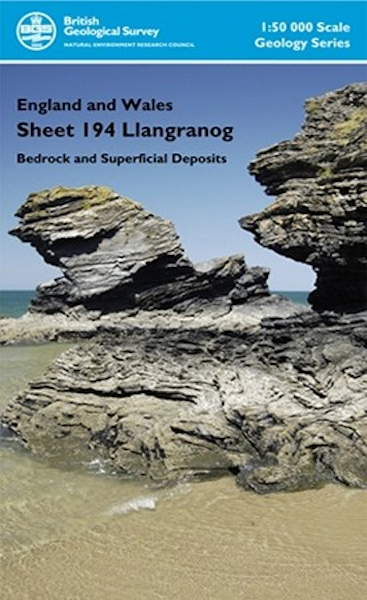
Llangranog district map pack - Sheet Explanation for sheet E194 plus 1:50 000 (B&Sup) map

Price £18.00(no VAT)
This pack contains a Sheet Explanation for the district and the complementary 1:50 000 scale Bedrock Geology and Superficial Deposits map (folded). Sheet Explanations provide a brief description and interpretation of the geology of the relevant map sheet area.
The A5 Sheet Explanation booklet and the map are supplied in a transparent wallet. While it is possible to buy the map and Sheet Explanation separately, buying them together as map pack saves you £3.
This Sheet Explanation and map pack offers a summary of the geology of the Llangranog district, which borders Cardigan Bay in Wales, and encompasses a rolling landscape between the river valleys of the Aeron in the north, and the Teifi in the south. Spectacular cliffs expose a sequence of geological formations which form part of the fill of the Lower Palaeozoic Welsh Basin.
Author Davis, J R et al
ISBN 6000001657
Scale 1:50 000
Sheet(s) Covered E194
Year Published 2007

