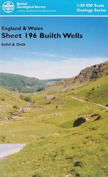
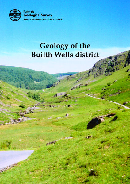
Builth Wells district map pack - Sheet Explanation for sheet E196 plus 1:50 000 (S&D) map

Price £18.00(no VAT)
This pack contains a Sheet Explanation for the district and the complementary 1:50 000 scale Bedrock Geology and Superficial Deposits map (folded). Sheet Explanations provide a brief description and interpretation of the geology of the relevant map sheet area.
The A5 Sheet Explanation booklet and the map are supplied in a transparent wallet. While it is possible to buy the map and Sheet Explanation separately, buying them together as map pack saves you £3.
The Builth Wells district covers the south-eastern margin of the Cambrian Mountains and the escarpment of Mynydd Eppynt in Powys, in Wales. Parts of Ceredigion and Carmarthenshire are also covered. The geology of this area has a long history of research, and contributions to the early understanding of the district have been made by Murchison, De la Beche, and Lapworth. This new Sheet Explanation provides an up-to-date interpretation based on new mapping and includes a comprehensive study of the Quaternary deposits and contains a section on the applied geology.
Author Schofield, D. I. et al
ISBN XEM196SEM
Scale 1:50 000
Sheet(s) Covered E196
Year Published 2005


