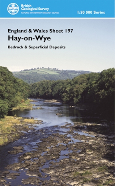
Hay-on-Wye district map pack - Sheet Explanation for sheet E197 plus 1:50 000 (S&D) map [Booklet and Map Pack]

Price £18.00(no VAT)
This pack contains a Sheet Explanation for the district and the complementary 1:50 000 scale Bedrock Geology and Superficial Deposits map (folded). Sheet Explanations provide a brief description and interpretation of the geology of the relevant map sheet area.
The A5 Sheet Explanation booklet and the map are supplied in a transparent wallet. While it is possible to buy the map and Sheet Explanation separately, buying them together as map pack saves you £3.
This Sheet Explanation describes the geology of the picturesque Hay-on-Wye district in the Welsh borderlands, between the southern edge of Radnor Forest and the north-eastern margin of the Black Mountains. The district provides a transect across the south-east margin of the Lower Palaeozoic Welsh Basin. A summary of the lithological characteristics and deposition environments for each formation is provided. In addition, information on the applied geology for the area is offered - mineral and water resources, engineering ground conditions and geological conservation, all of which are vital considerations for future planning and development. [Booklet and Map Pack]
Author Wilby, P.R.
Format Booklet and Map Pack
ISBN XEM197SEM
Scale 1:50 000
Sheet(s) Covered E197
Version S&D
Year Published 2005


![Cover image for Hay-on-Wye district map pack - Sheet Explanation for sheet E197 plus 1:50 000 (S&D) map [Booklet and Map Pack]](/Resources/Shop/img/large/Product/BSP_EM197SEM.jpg)