Woodbridge & Felixstowe District district - Sheet Explanation for sheet E208 & 225

Price £9.00(no VAT)
Sheet Explanations provide a brief description and interpretation of the geology of the relevant BGS 1:50 000 scale map sheet area. More detailed geological information for the same area is available via the Sheet Descriptions.
Sheet Explanations are printed A5 booklets and are available either singly, or as a pack together with the relevant 1:50 000 scale map, where this map is available.
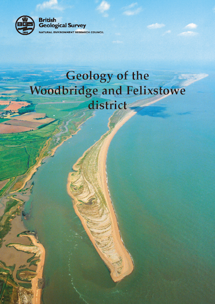
The Woodbridge and Felixstowe district comprises a low-lying coastal part of Suffolk bordering the North Sea. The highest ground lies in the north-west at around 30 m above OD and is underlain by loamy soils; farther south and east, extensive heathlands are developed on broad plateaux underlain by predominantly sandy soils. Most of the area is rural, given over to arable farming and forestry. The principal towns are the market town of Woodbridge and the seaside resort and the port of Felixstowe. The coastline includes the gravel spits of Orford Ness and Landguard Point, and is backed by extensive drained salt-marshes and mudflats.
Author S J Mathers, N J P Smith
ISBN 0852724314
Sheet(s) Covered E208
Sheet(s) Partially Covered E225
Year Published 2002

