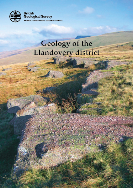
Llandovery district - Sheet explanation for E212 [Booklet]

Price £9.00(no VAT)
Sheet Explanations provide a brief description and interpretation of the geology of the relevant BGS 1:50 000 scale map sheet area. More detailed geological information for the same area is available via the Sheet Descriptions.
Sheet Explanations are printed A5 booklets and are available either singly, or as a pack together with the relevant 1:50 000 scale map, where this map is available.
The Llandovery district in southern Wales includes the rolling hills and uplands of the south-west margin of the Cambrian Mountains and the north-west approaches to the Black Mountains, south of the floodplain of the Afon Tywi. The area provides a transect across a spectrum of geological formations that define the Lower Palaeozoic Welsh Basin, its transition into the shelf area of the Midland Platform and overlying Old Red Sandstone and Carboniferous Limestone. [Booklet]
Author Schofield, D.I.
Collation 38 pp
Format Booklet
ISBN 0852726333
Sheet(s) Covered E212
Year Published 2009

