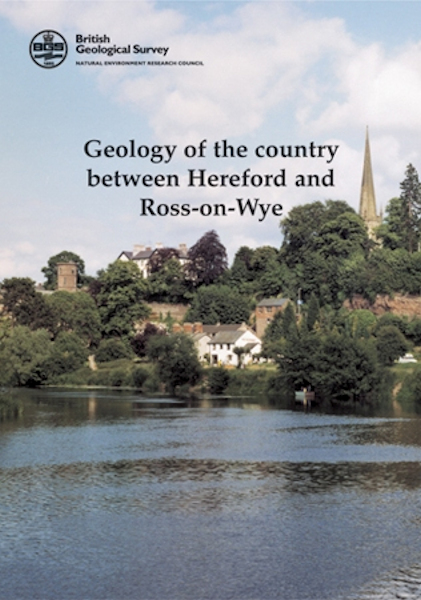
Hereford and Ross-on-Wye - Sheet Explanation for sheet E215

Price £9.00(no VAT)
Sheet explanations provide a brief description and interpretation of the geology of the relevant BGS 1:50 000 scale map sheet area. More detailed geological information for the same area is available via the Sheet Descriptions.
Sheet explanations are printed A5 booklets and are available either singly, or as a pack together with the relevant 1:50 000 scale map, where this map is available. The pack is available for Hereford and Ross-on-Wye; product code EM215SEMB. Please note the map in this pack is a Provisional sheet.
The area described in this Sheet Explanation lies in the Welsh Borderland; the Wye valley, with its spectacular deeply incised meander loops, crossing it from north-west to south-east. Most of the district is underlain by Old Red Sandstone rocks of late Silurian to Devonian age - these form fertile agricultural ground. Older Silurian strata outcrop in the Woolhope Anticline in the east and small areas of Carboniferous strata are present south of Ross-on-Wye. There is a history of extraction; the sandstones were quarried, and sand and gravel were worked until about 1990.
Author Barclay, W J and Smith, N J P
ISBN 085272439X
Sheet(s) Covered E215
Year Published 2003

