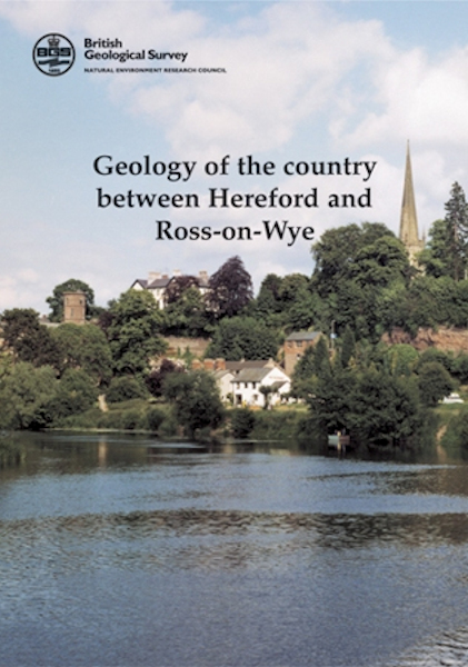
Hereford & Ross-on-Wye map pack - Sheet Explanation for sheet E215 (Ross-on-Wye) plus 1:50 000 (S&D) map (Provisional) [Booklet and Map Pack]

Price £18.00(no VAT)
This pack consists of the Sheet Explanation, which is an A5 printed booklet providing a brief description of the geology of the 1:50 000 scale map area, plus the area's 1:50 000 scale S&D map. Please note that the Ross-on-Wye map contained in this pack is a Provisional edition.
The booklet and the map are supplied in a clear folder.
The area described in this Sheet Explanation lies in the Welsh Borderland; the Wye valley, with its spectacular deeply incised meander loops, crossing it from north-west to south-east. Most of the district is underlain by Old Red Sandstone rocks of late Silurian to Devonian age - these form fertile agricultural ground. Older Silurian strata outcrop in the Woolhope Anticline in the east and small areas of Carboniferous strata are present south of Ross-on-Wye. There is a history of extraction; the sandstones were quarried, and sand and gravel were worked until about 1990. [Booklet and Map Pack]
Format Booklet and Map Pack
Sheet(s) Covered E215
Year Published 2003


