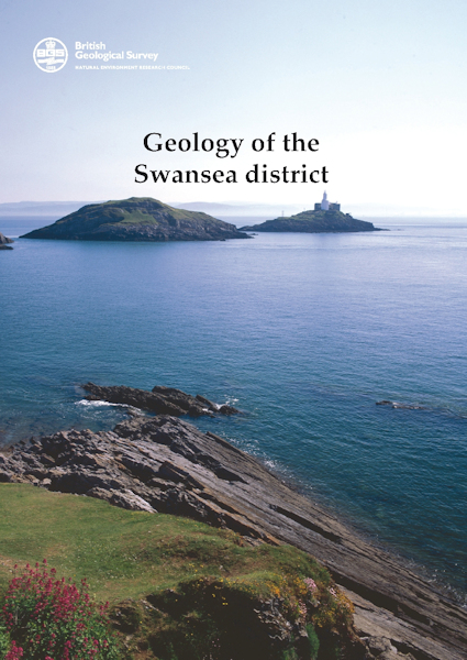
Swansea district - Sheet Explanation for sheet E247 [Booklet]

Price £9.00(no VAT)
Sheet Explanations provide a brief description and interpretation of the geology of the relevant BGS 1:50 000 scale map sheet area. More detailed geological information for the same area is available via the Sheet Descriptions.
Sheet Explanations are printed A5 booklets and are available either singly, or as a pack together with the relevant 1:50 000 scale map, where this map is available.
The Swansea district extends from east Gower and Llanelli in the west to Port Talbot and Neath in the east, the city of Swansea occupying the central part. Pennant sandstones of the Warwickshire Group underlie most of the district, Coal Measures occupy the drift-covered coastal area from Swansea Bay eastwards and limestones of the Pembroke Limestone Group crop out in the Gower. Upper Old Red Sandstone quartz pebble conglomerates of Late Devonian age forming the core of the Cefn Bryn Anticline in Gower are the oldest exposed rocks in the district. The youngest strata are Triassic mudstones present in a small drift-covered outcrop in the south-east. [Booklet]
Author Barclay, WJ
Collation 210 x 145 mm; 39 pages
Format Booklet
ISBN 0852725817
Sheet(s) Covered E247
Year Published 2011

