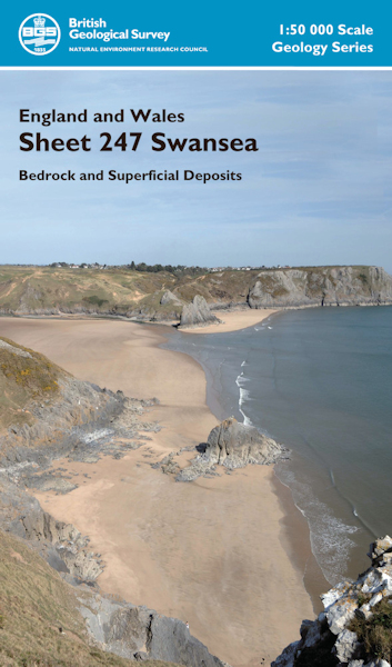
Swansea district map pack - Sheet Explanation for sheet E247 plus 1:50 000 (B&Sup) map [Booklet and Map Pack]

Price £18.00(no VAT)
This pack contains a Sheet Explanation for the district and the complementary 1:50 000 scale Bedrock Geology and Superficial Deposits map (folded). Sheet Explanations provide a brief description and interpretation of the geology of the relevant map sheet area.
The A5 Sheet Explanation booklet and the map are supplied in a transparent wallet. While it is possible to buy the map and Sheet Explanation separately, buying them together as map pack saves you £3.
The Swansea district extends from east Gower and Llanelli in the west to Port Talbot and Neath in the east, the city of Swansea occupying the central part. Pennant sandstones of the Warwickshire Group underlie most of the district, Coal Measures occupy the drift-covered coastal area from Swansea Bay eastwards and limestones of the Pembroke Limestone Group crop out in the Gower. Upper Old Red Sandstone quartz pebble conglomerates of Late Devonian age forming the core of the Cefn Bryn Anticline in Gower are the oldest exposed rocks in the district. The youngest strata are Triassic mudstones present in a small drift-covered outcrop in the south-east.
[Booklet and Map Pack]
Author Barclay, WJ
Format Booklet and Map Pack
ISBN 9786000008055
Scale 1:50 000
Sheet(s) Covered E247
Year Published 2011

