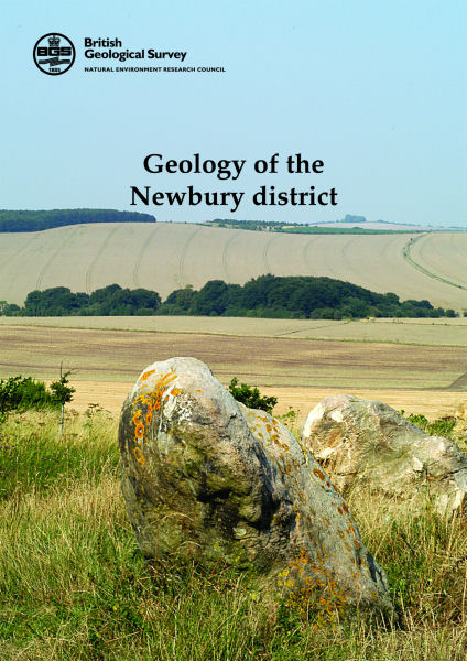
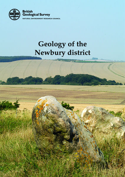
Newbury district map pack - Sheet Explanation sheet E267 plus 1:50 000 (B&Sup) map

Price £18.00(no VAT)
This pack contains a Sheet Explanation for the district and the complementary 1:50 000 scale Bedrock Geology and Superficial Deposits map (folded). Sheet Explanations provide a brief description and interpretation of the geology of the relevant map sheet area.
The A5 Sheet Explanation booklet and the map are supplied in a transparent wallet. While it is possible to buy the map and Sheet Explanation separately, buying them together as map pack saves you £3.
This Sheet Explanation and map pack gives a summary of the geology of the Newbury district. Newbury lies about 85km west of central London on the River Kennet, in the western part of the Thames Basin. The surface geology of the area is dominated by the Chalk Group, forming the downlands, and constituting the major aquifer of the region. The Upper Greensand Formation, the oldest rocks found at the surface, appears from beneath the Chalk to form inliers in the south-west.
Potentially hazardous ground conditions can arise in parts of this district from landslip, ground heave or flooding; this book contains information on the applied geology of the district.
ISBN 6000001843
Scale 1:50 000
Sheet(s) Covered E267
Year Published 2007


