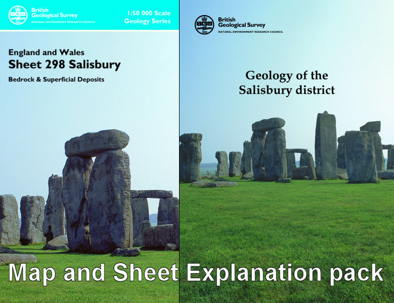
Salisbury district map pack - Sheet Explanation for sheet E298 plus 1:50 000 (B&Sup) map

Price £18.00(no VAT)
This pack contains a Sheet Explanation for the district and the complementary 1:50 000 scale Bedrock Geology and Superficial Deposits map (folded). Sheet Explanations provide a brief description and interpretation of the geology of the relevant map sheet area.
The A5 Sheet Explanation booklet and the map are supplied in a transparent wallet. While it is possible to buy the map and Sheet Explanation separately, buying them together as map pack saves you £3.
The historic city of Salisbury lies to the southeast of the district at the confluence of the River Nadder and River Avon valleys. Close by are the satellite conurbations of Wilton, famous for its carpet making industry, and Harnham. To the north in the Avon valley is Amesbury and to the far north and east the military areas of Salisbury Plain Training Area and the Porton Down Experimental Station. Away from Salisbury the district is largely rural. The iconic ancient monument of Stonehenge is to be found in the north adjacent to the A303, one of the major routes to the south-west of England.
Author Hopson, P.M. et al
ISBN 6000002378
Scale 1:50 000
Sheet(s) Covered E298
Year Published 2007

