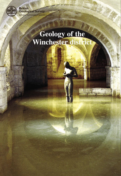
Winchester. Sheet Description for sheet E299 (POD)

Price £36.00(no VAT)
Sheet descriptions provide detailed, in-depth geological information for the relevant BGS 1:50 000 scale map sheets. Extensive references and information sources are cited.
They are A4 print-on-demand publications which are supplied bound in clear covers.
This Sheet Description details the geology of north-east Hampshire around Winchester and Stockbridge (Sheet 299). The district covers an area from Winchester and the M3 motorway in the east to the Hampshire–Wiltshire border (10 km east of Salisbury) in the west. It stretches from near Andover (and the A303 trunk road) in the north, to near Romsey in the south. The district is founded for the greater part on the Chalk with Palaeogene strata preserved in the south. The broad shallow slopes, and short, steep scarps, characteristic of the strata of the area, are cross-cut by the north-south-oriented Itchen and Test valleys, which split the area into two major interfluves.
ISBN 0852726163
Scale 1:50 000
Sheet(s) Covered E299
Year Published 2008

