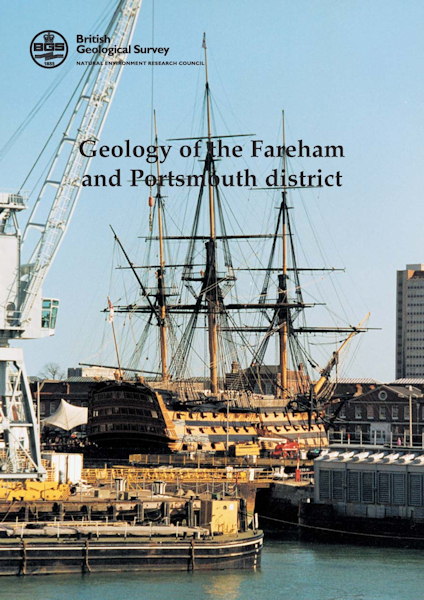
Fareham and Portsmouth district map pack - Sheet Explanation for sheet E316 (Fareham) plus 1:50 000 (S&D) map [Booklet and Map Pack]

Price £18.00(no VAT)
This pack contains a Sheet Explanation for the district and the complementary 1:50 000 scale Bedrock Geology and Superficial Deposits map (folded). Sheet Explanations provide a brief description and interpretation of the geology of the relevant map sheet area.
The A5 Sheet Explanation booklet and the map are supplied in a transparent wallet. While it is possible to buy the map and Sheet Explanation separately, buying them together as map pack saves you £3.
The primary chalk scarp of the South Downs and the Portsdown anticline dominate the landscape of the Fareham and Portsmouth district. Travelling northward from the low, flat-lying coastal plain with its extensive natural harbours, the prominent chalk feature of Ports Down is encountered. From the crest of that feature, there is a wide northward vista over the Bere Forest Syncline and onwards towards the main chalk scarp, which is dominated by the communication mast at Butser Hill. Looking from Butser Hill towards the north and north-east, the characteristic ridge and vale country at the western end of the Weald can be appreciated.
The coastal plain is underlain by a thin Quaternary sequence masking Palaeogene strata, and the Bere Forest is characterised by sandy heath and heavy clay pastureland directly overlying Palaeogene sediments. Long, gentle dip slopes of the Upper Chalk form much of the open downland in the north of the district, whereas the face of the primary scarp and the ridge and vale country in the extreme north-east are formed by the Middle and Lower Chalk and alternating sands and clays of the Lower Cretaceous, respectively. [Booklet and Map Pack]
Author Hopson, P.M.
Format Booklet and Map Pack
Sheet(s) Covered E316
Sheet(s) Partially Covered E331
Year Published 2000

