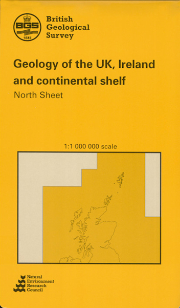
Geology of the United Kingdom, Ireland and the adjacent continental shelf: North sheet [Folded Map]

Price £9.95(no VAT)
This map shows the solid geology of the northern part of the UK landmass and that of the offshore continental shelf. Map coverage extends from approximately 10 degrees West to 3 degrees East, and from 55 degrees North to 62 degrees North. [Folded Map]
Format Folded Map
ISBN 9780751812107
Scale 1:1 000 000
Version S
Year Published 1991

