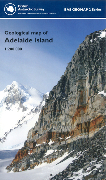
Geological map of Adelaide Island (Antarctica) BAS GEOMAP 2 SERIES, SHEET 2, EDITION 1 [Folded Map]

Price £9.99(no VAT)
British Antarctic Survey Geomap 2 Series, Sheet 2..
Geological map of Adelaide Island (Antarctica) 68° S – 66° S and 67° W – 69° W.
This sheet provides a fully revised, interpretative geological map of Adelaide Island combining recent field observations with survey work from 1960s to 1990s. The revised geology of Adelaide Island includes five volcanic/sedimentary formations alongside a suite of granitoids and gabbros. Correlations between Adelaide Island and Alexander Island establish the extent of the fore-arc basin of the Antarctic Peninsula.
[Folded Map]
Collation 226 x 135 mm
Format Folded Map
ISBN 9780856652011
Scale 1:200 000
Version B
Year Published 2011

