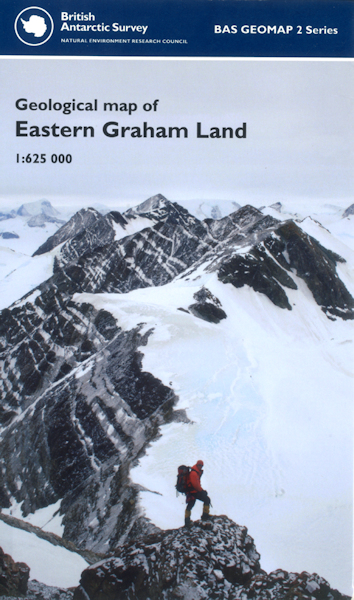
Geological map of eastern Graham Land (Antarctica) BAS GEOMAP 2 SERIES, SHEET 1, EDITION 1 [Folded Map]

Price £9.99(no VAT)
British Antarctic Survey Geomap 2 Series, Sheet 1.
Geological map of eastern and northern Graham Land (Antarctica) 67° S – 63° S and 54° W – 64° W.
This sheet provides the first interpretative geological map of the eastern coast of northern Graham Land and is a collation of geological fieldwork, airborne and satellite observations from the 1950s to the present day. The geology of eastern Graham Land has strong affinities to that of Patagonia and there was probably considerable overlap between the northern Antarctic Peninsula and western Patagonia from the Late Palaeozoic up until Miocene separation.
[Folded Map]
Collation 226 x 135 mm
Format Folded Map
ISBN 9780856652028
Scale 1:625 000
Version B
Year Published 2011

