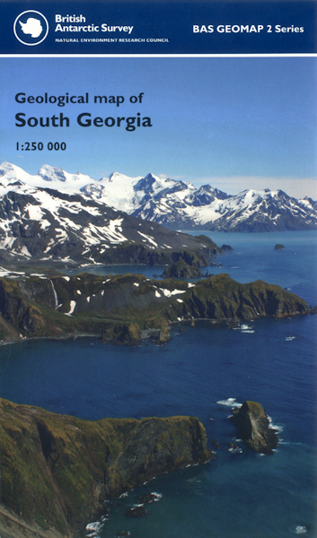
Geological map of South Georgia BAS GEOMAP 2 SERIES, SHEET 4, EDITION 1 (Folded Map)

Price £12.00(no VAT)
British Antarctic Survey Geomap 2 Series, Sheet 3.
Geological map of South Georgia 55° S – 54° S and 36° W – 38° W.
This sheet provides an updated geological map of South Georgia incorporating recent geological field observations with pre-existing mapping. South Georgia forms part of a microcontinental block situated along North Scotia Ridge, in turn part of the Scotia arc, a complex, submarine ridge linking southernmost South America to the Antarctic Peninsula via the South Sandwich, South Orkney and South Shetland islands.
ISBN 9780856652035
Scale 1:250 000
Year Published 2011

