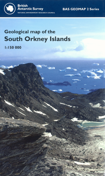
Geological map of the South Orkney Islands BAS GEOMAP 2 SERIES, SHEET 3 EDITION 1 [Folded Map]

Price £9.99(no VAT)
British Antarctic Survey BAS Geomap 2 Series, Sheet 4.
South Orkney Islands 61° S – 60° S and 44° W – 47° W.
This sheet provides an updated geological map of the South Orkney Islands incorporating recent geological observations with survey work from the 1960s to the 1980s. The South Orkney microcontinent, originally contiguous with the northern tip of the Antarctic Peninsula, was separated as a result of the formation of the Powell Basin during the separation of Antarctica from South America and the opening of the Drake Passage. [Folded Map]
Format Folded Map
ISBN 9780856652004
Scale 1:150 000
Year Published 2011

