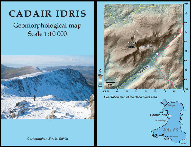
Cadair Idris geomorphological map (1:10 000 scale)

Price £5.00(no VAT)
Shows geomorphological features of the Cadair Idris area at 1:10 000 scale.
This map won the Journal of Maps ‘best paper’ competition. As a result, a limited print run of the map was produced, and BGS are delighted to be able to offer this map for sale. The map is folded with an integral paper cover (i.e. not cased).
Sahlin, E.A.U. and Glasser, N.F. (2008) Geomorphological map of Cadair Idris, Wales, Journal of Maps, v2008, 299-314.
This is a new 1:10 000 scale geomorphological map of Cadair Idris in Wales, produced by interpretating aerial photographs and field investigations of landform/sediment associations. Digital Elevation Models (sourced from NEXTMap Britain) were used to supplement the mapping, enhancing the ability to observe and identify landforms, bedrock structure and landscape composition.
The resulting map shows the distribution of glacial, periglacial and postglacial landforms such as cirques, end moraines, glacial striations, tors, meltwater channels, scree slopes and alluvial fans. Some of these features have not previously been identified. The geomorphological mapping will also be used as basis for geoconservation planning by the Countryside Council for Wales and the Welsh Regionally Important Geological /Geomorphological Sites groups.
Author E.A.U. Sahlin
Scale 1:10 000
Year Published 2009

