
6 products found
Sort by

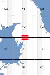
| Format | Folded Map | ISBN | 075183565X |
|---|---|---|---|
| Scale | 1:50 000 | Sheet(s) Covered | E039 |
| Version | B&Sup | Year Published | 2009 |

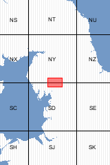
| Format | Flat Map | ISBN | 0751835641 |
|---|---|---|---|
| Scale | 1:50 000 | Sheet(s) Covered | E039 |
| Version | B&Sup | Year Published | 2009 |

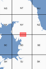
| Format | Folded Map | ISBN | 0751835528 |
|---|---|---|---|
| Scale | 1:50 000 | Sheet(s) Covered | E039 |
| Version | B | Year Published | 2008 |

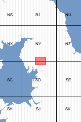
| Format | Flat Map | ISBN | 075183551X |
|---|---|---|---|
| Scale | 1:50 000 | Sheet(s) Covered | E039 |
| Version | B | Year Published | 2008 |

Sheet Explanations provide a brief description and interpretation of the geology of the relevant BGS 1:50 000 scale map sheet area. More detailed geological information for the same area is available via the Sheet Descriptions. Sheet Explanations are printed A5 booklets and are available either singly, or as a pack together with the relevant 1:50 000 scale map, where this map is available. The Kendal district of Cumbria encompasses the mountain valleys of Troutbeck, Kentmere and Longsleddale within the Lake District National Park, and the Howgill Fells, part of which lie in the Yorkshire Dales National Park. There is a strong relationship between landscape and geology in this area; the volcanic-, sandstone-, mudstone- and limestone-dominated rock units are each carved into distinctive landforms. The effects of Quaternary glaciation are displayed in the present-day landscape of glacially-sculpted valleys and rugged mountains of the Lakeland fells. In the north, the Early Devonian Shap Granite is one of the best-known igneous rocks in Britain. This booklet describes the district's geology, structure, metamorphism and mineralisation, and includes information on the applied aspects such as mineral and water resources.
| Author | Millward, D. et al | ISBN | 085272649X |
|---|---|---|---|
| Sheet(s) Covered | E039 | Year Published | 2010 |

This pack contains a Sheet Explanation for the district and the complementary 1:50 000 scale Bedrock Geology and Superficial Deposits map (folded). Sheet Explanations provide a brief description and interpretation of the geology of the relevant map sheet area. The A5 Sheet Explanation booklet and the map are supplied in a transparent wallet. While it is possible to buy the map and Sheet Explanation separately, buying them together as map pack saves you £3. The Kendal district of Cumbria encompasses the mountain valleys of Troutbeck, Kentmere and Longsleddale within the Lake District National Park, and the Howgill Fells, part of which lie in the Yorkshire Dales National Park. There is a strong relationship between landscape and geology in this area; the volcanic-, sandstone-, mudstone- and limestone-dominated rock units are each carved into distinctive landforms. The effects of Quaternary glaciation are displayed in the present-day landscape of glacially-sculpted valleys and rugged mountains of the Lakeland fells. In the north, the Early Devonian Shap Granite is one of the best-known igneous rocks in Britain. This booklet describes the district's geology, structure, metamorphism and mineralisation, and includes information on the applied aspects such as mineral and water resources. …more…
| Format | Booklet and Map Pack | ISBN | 6000006667 |
|---|---|---|---|
| Sheet(s) Covered | E039 | Version | B&Sup |
| Year Published | 2010 | ||
6 products found
Sort by