
Four products found
Sort by

| Format | Folded Map | ISBN | 0751830437 |
|---|---|---|---|
| Scale | 1:50 000 | Sheet(s) Covered | E219 |
| Version | S&D | Year Published | 2003 |

| Format | Flat Map | ISBN | 0751830429 |
|---|---|---|---|
| Scale | 1:50 000 | Sheet(s) Covered | E219 |
| Version | S&D | Year Published | 2002 |

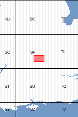
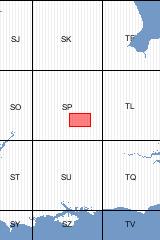
Sheet Explanations provide a brief description and interpretation of the geology of the relevant BGS 1:50 000 scale map sheet area. More detailed geological information for the same area is available via the Sheet Descriptions. Sheet Explanations are printed A5 booklets and are available either singly, or as a pack together with the relevant 1:50 000 scale map, where this map is available. The Buckingham district is an important development area, within easy reach of London and the Midlands conurbations. It includes the expanding towns of Bicester, Buckingham, Brackley and part of Milton Keynes. The district is divisible into four parts, each with a recognisably distinct topography. The western part, underlain by Jurassic strata, has much of the character of the Cotswolds with narrow valleys cutting through open 'uplands'. The south-central part is a clay vale of low relief, excavated into mudstones such as the Oxford Clay. The south-eastern part is dominated by flat-topped hlls capped by Portland, Purbeck and Lower Cretaceous strata and the north-eastern part is a plateau underlain by thick glacial drift deposits, dissected by the Great Ouse river system. Information on the area's geology and applied geology, including hydrogeology, engineering geology and mineral resources is also provided in this publication.
| Author | Sumbler, M. | ISBN | 0852724330 |
|---|---|---|---|
| Sheet(s) Covered | E219 | Year Published | 2002 |

This pack contains a Sheet Explanation for the district and the complementary 1:50 000 scale Bedrock Geology and Superficial Deposits map (folded). Sheet Explanations provide a brief description and interpretation of the geology of the relevant map sheet area. The A5 Sheet Explanation booklet and the map are supplied in a transparent wallet. While it is possible to buy the map and Sheet Explanation separately, buying them together as map pack saves you £3. The Buckingham district is an important development area, within easy reach of London and the Midlands conurbations. It includes the expanding towns of Bicester, Buckingham, Brackley and part of Milton Keynes. The district is divisible into four parts, each with a recognisably distinct topography. The western part, underlain by Jurassic strata, has much of the character of the Cotswolds with narrow valleys cutting through open 'uplands'. The south-central part is a clay vale of low relief, excavated into mudstones such as the Oxford Clay. The south-eastern part is dominated by flat-topped hlls capped by Portland, Purbeck and Lower Cretaceous strata and the north-eastern part is a plateau underlain by thick glacial drift deposits, dissected by the Great Ouse river system. Information on the area's geology and applied geology, including hydrogeology, engineering geology and mineral resources is also provided in this publication.
| Sheet(s) Covered | E219 | Year Published | 2003 |
|---|
Four products found
Sort by