
Five products found
Sort by

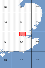
The geology shown on this map is defined as Pre-Quaternary and Quaternary: this is broadly similar to the ’Solid and Drift’ classification for onshore maps. [Folded Map]
| Format | Folded Map | ISBN | 0751831522 |
|---|---|---|---|
| Sheet(s) Partially Covered | E258, E259 | Scale | 1:50 000 |
| Sheet(s) Covered | E257 | Version | PQQ |
| Year Published | 1997 | ||

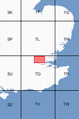
The geology shown on this map is defined as Pre-Quaternary and Quaternary: this is broadly similar to the ’Solid and Drift’ classification for onshore maps. [Flat Map]
| Format | Flat Map | ISBN | 0751831514 |
|---|---|---|---|
| Sheet(s) Partially Covered | E258, E259 | Scale | 1:50 000 |
| Sheet(s) Covered | E257 | Version | PQQ |
| Year Published | 1997 | ||

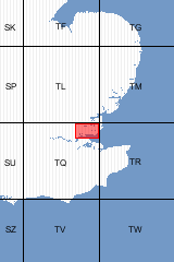
| Format | Flat Map | ISBN | 0751806668 |
|---|---|---|---|
| Sheet(s) Partially Covered | E259 | Scale | 1:50 000 |
| Sheet(s) Covered | E258 | Version | S&D |
| Year Published | 1976 | ||

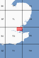
| Format | Folded Map | ISBN | 0751806676 |
|---|---|---|---|
| Sheet(s) Partially Covered | E259 | Scale | 1:50 000 |
| Sheet(s) Covered | E258 | Version | S&D |
| Year Published | 1976 | ||

| Author | Lake, R.D. | ISBN | 0118843915 |
|---|---|---|---|
| Sheet(s) Partially Covered | E259 | Sheet(s) Covered | E258 |
| Year Published | 1986 | ||
Five products found
Sort by