
1:50 000 Geological Maps - England and Wales
1:50 000 Series geological maps for England & Wales are produced in landscape format, each covering an area of approximately 20km north-south and 30km east-west.
Combined sheets, special sheets and those for coastal districts may have a different coverage.
Maps are normally available in both flat and folded formats.
 Browse all sheet names
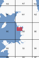
| Format |
Flat Map |
ISBN |
075180410X |
| Scale |
1:50 000 |
Sheet(s) Covered |
E058 |
| Version |
S,D |
Year Published |
1976 |

| Author |
BGS |
Format |
Folded Map |
| ISBN |
9780751804119 |
Scale |
1:50 000 |
| Sheet(s) Covered |
E058 |
Version |
S,D |
| Year Published |
1976 |
|
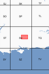
For clarity, parts of the solid geology shown on this map have been simplified [Folded Map]
| Format |
Folded Map |
ISBN |
9780751836929 |
| Scale |
1:50 000 |
Sheet(s) Covered |
E284 |
| Version |
S&D |
Year Published |
1981 |
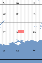
1980 'Facsimile of 1978 map. For clarity, parts of the solid geology shown on this map have been simplified. [Flat Map]
| Format |
Flat Map |
ISBN |
0751807001 |
| Scale |
1:50 000 |
Sheet(s) Covered |
E284 |
| Version |
S&D |
Year Published |
1978 |

Bedrock geology and Superficial deposits map E265 [Folded Map]
| Format |
Folded Map |
ISBN |
0751835919 |
| Scale |
1:50 000 |
Sheet(s) Covered |
E265 |
| Version |
B&Sup |
Year Published |
2011 |

Bedrock geology and Superficial deposits map E265 [Flat Map]
| Format |
Flat Map |
ISBN |
0751835900 |
| Scale |
1:50 000 |
Sheet(s) Covered |
E265 |
| Version |
B&Sup |
Year Published |
2011 |
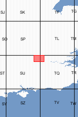
| Format |
Folded Map |
ISBN |
0751834009 |
| Reprographic |
I |
Scale |
1:50 000 |
| Sheet(s) Covered |
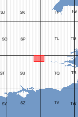
E255 |
Version |
S&D |
| Year Published |
2005 |
|
| Format |
Flat Map |
ISBN |
0751833991 |
| Reprographic |
I |
Scale |
1:50 000 |
| Sheet(s) Covered |
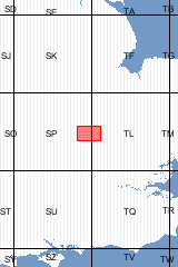
E255 |
Version |
S&D |
| Year Published |
2005 |
|
| Format |
Folded Map |
ISBN |
0751835765 |
| Scale |
1:50 000 |
Sheet(s) Covered |
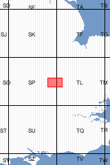
E203 |
| Version |
B&Sup |
Year Published |
2010 |
| Format |
Flat Map |
ISBN |
0751835757 |
| Scale |
1:50 000 |
Sheet(s) Covered |
E203 |
| Version |
B&Sup |
Year Published |
2010 |
| Format |
Folded Map |
ISBN |
0751803596 |
| Scale |
1:50 000 |
Sheet(s) Covered |
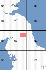
E013 |
| Version |
S&D |
Year Published |
1980 |
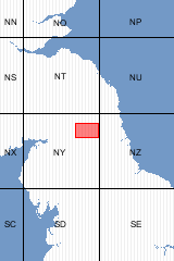
| Format |
Flat Map |
ISBN |
0751803588 |
| Scale |
1:50 000 |
Sheet(s) Covered |
E013 |
| Version |
S&D |
Year Published |
1980 |
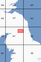
| Format |
Flat Map |
ISBN |
0751803561 |
| Scale |
1:50 000 |
Sheet(s) Covered |
E013 |
| Version |
SwD |
Year Published |
1980 |
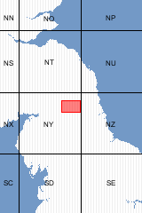
| Format |
Folded Map |
ISBN |
075180357X |
| Scale |
1:50 000 |
Sheet(s) Covered |
E013 |
| Version |
SwD |
Year Published |
1980 |
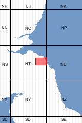
This sheet covers the England only. Scottish sheets S026 covers the Scottish side of the border. [Flat Map]
| Format |
Flat Map |
ISBN |
0751803405 |
| Sheet(s) Partially Covered |
E002 |
Scale |
1:50 000 |
| Sheet(s) Covered |
E001 |
Version |
S,D |
| Year Published |
1977 |
|

| Author |
BGS |
Format |
Folded Map |
| ISBN |
9780751803419 |
Sheet(s) Partially Covered |
E002 |
| Scale |
1:50 000 |
Sheet(s) Covered |
E001 |
| Version |
S |
Year Published |
1977 |
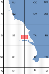
| Edition |
PROV |
Format |
Flat Map |
| ISBN |
0751830003 |
Scale |
1:50 000 |
| Sheet(s) Covered |
E072 |
Version |
S&D |
| Year Published |
1995 |
|
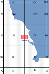
| Edition |
PROV |
Format |
Folded Map |
| ISBN |
0751830011 |
Scale |
1:50 000 |
| Sheet(s) Covered |
E072 |
Version |
S&D |
| Year Published |
1995 |
|
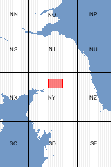
| Format |
Folded Map |
ISBN |
0751800066 |
| Scale |
1:63 360 |
Sheet(s) Covered |
E012 |
| Version |
S&D |
Year Published |
1969 |
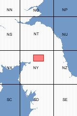
| Format |
Flat Map |
ISBN |
0751800015 |
| Scale |
1:63 360 |
Sheet(s) Covered |
E012 |
| Version |
S&D |
Year Published |
1969 |
Out of print maps
For some districts copies of out of print maps are available through our 'Print-on-demand' service.
These maps are printed as required (normally within 2 days) using a high resolution, high permancence digital printer: the maps are supplied in flat form only: they are indicated by '(POD)' in the list.


 Browse all sheet names


