
7 products found
Sort by

| Format | Flat Map | ISBN | 0751832839 |
|---|---|---|---|
| Scale | 1:50 000 | Sheet(s) Covered | E069 |
| Version | S&D | Year Published | 2000 |

Also available as a Sheet Explalation and Map pack at £18: see the Memoirs section for more information. [Folded Map]
| Format | Folded Map | ISBN | 0751832847 |
|---|---|---|---|
| Scale | 1:50 000 | Sheet(s) Covered | E069 |
| Version | S&D | Year Published | 2000 |

| Format | Flat Map | ISBN | 0751832812 |
|---|---|---|---|
| Scale | 1:50 000 | Sheet(s) Covered | E069 |
| Version | S | Year Published | 2000 |

| Format | Folded Map | ISBN | 0751832820 |
|---|---|---|---|
| Scale | 1:50 000 | Sheet(s) Covered | E069 |
| Version | S | Year Published | 2000 |

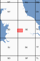
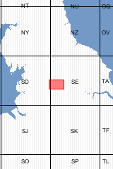
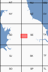
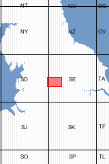
Sheet Explanations provide a brief description and interpretation of the geology of the relevant BGS 1:50 000 scale map sheet area. More detailed geological information for the same area is available via the Sheet Descriptions. Sheet Explanations are printed A5 booklets and are available either singly, or as a pack together with the relevant 1:50 000 scale map, where this map is available. The district lies predominantly within the county of West Yorkshire, principally in the City of Bradford Metropolitan District. It also includes small areas of Calderdale District in the south-west, the Leeds District in the east, and the county of North Yorkshire in the north. The main population centres are the conurbation of Bradford, Shipley and west Leeds; smaller towns in the valleys of the rivers Aire, Wharfe and Worth include Keighley, Bingley, Ilkley, Otley and Skipton. The population centres are separated by areas of agricultural land, with scattered villages, and expanses of moorland. The landscape of the Bradford district is dominated by the upland moors and 'grit' edges of the Millstone Grit. This harsh landscape is credited with inspiring the writings of the Brontë sisters and continues to attract visitors to the district. The origin of the Millstone Grit as deltaic sediments deposited at the mouths of large river systems flowing from the north about 315 million years ago is no less a remarkable story. At first the rivers discharged into a deep, mostly marine basin of which the Bradford district occurred at the northern margin. Initially the deltas could prograde only a short distance southwards, but as the basin continued to fill with sediments the deltas formed thick sheets of sand (now evident as the sandstones that form the edges on Rombalds Moor) which extended far beyond the district. The deposition of the sediments show a marked cyclicity believed to be controlled by regular fluctuations in sea level during the Carboniferous.
| Author | Waters, C.M. | ISBN | 0852723350 |
|---|---|---|---|
| Sheet(s) Covered | E069 | Year Published | 2000 |

This pack contains a Sheet Explanation for the district and the complementary 1:50 000 scale Bedrock Geology and Superficial Deposits map (folded). Sheet Explanations provide a brief description and interpretation of the geology of the relevant map sheet area. The A5 Sheet Explanation booklet and the map are supplied in a transparent wallet. While it is possible to buy the map and Sheet Explanation separately, buying them together as map pack saves you £3. The district lies predominantly within the county of West Yorkshire, principally in the City of Bradford Metropolitan District. It also includes small areas of Calderdale District in the south-west, the Leeds District in the east, and the county of North Yorkshire in the north. The main population centres are the conurbation of Bradford, Shipley and west Leeds; smaller towns in the valleys of the rivers Aire, Wharfe and Worth include Keighley, Bingley, Ilkley, Otley and Skipton. The population centres are separated by areas of agricultural land, with scattered villages, and expanses of moorland. The landscape of the Bradford district is dominated by the upland moors and 'grit' edges of the Millstone Grit. This harsh landscape is credited with inspiring the writings of the Brontë sisters and continues to attract visitors to the district. [Booklet and Map Pack]
| Author | Waters, C.M. | Format | Booklet and Map Pack |
|---|---|---|---|
| ISBN | XEM069SEM | Sheet(s) Covered | E069 |
| Year Published | 2000 | ||

Sheet descriptions provide detailed, in-depth geological information for the relevant BGS 1:50 000 scale map sheets. Extensive references and information sources are cited.
They are A4 print-on-demand publications which are supplied bound in clear covers. [Report]
| Author | Waters, C.M. | Format | Report |
|---|---|---|---|
| ISBN | 0852723555 | Reprographic | DP |
| Sheet(s) Covered | E069 | Year Published | 2000 |
7 products found
Sort by