
6 products found
Sort by

| Format | Folded Map | ISBN | 0751830852 |
|---|---|---|---|
| Scale | 1:50 000 | Sheet(s) Covered | E196 |
| Version | S&D | Year Published | 2004 |

Builth Wells (S&D) [Flat Map]
| Format | Flat Map | ISBN | 0751830844 |
|---|---|---|---|
| Scale | 1:50 000 | Sheet(s) Covered | E196 |
| Version | S&D | Year Published | 2005 |

Builth Wells (S) [Flat Map]
| Format | Flat Map | ISBN | 0751834017 |
|---|---|---|---|
| Scale | 1:50 000 | Sheet(s) Covered | E196 |
| Version | S | Year Published | 2005 |

| Format | Folded Map | ISBN | 0751834025 |
|---|---|---|---|
| Scale | 1:50 000 | Sheet(s) Covered | E196 |
| Version | S&D | Year Published | 2004 |

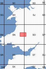
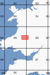
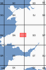
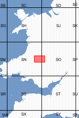
Sheet Explanations provide a brief description and interpretation of the geology of the relevant BGS 1:50 000 scale map sheet area. More detailed geological information for the same area is available via the Sheet Descriptions. Sheet Explanations are printed A5 booklets and are available either singly, or as a pack together with the relevant 1:50 000 scale map, where this map is available. The Builth Wells district covers the south-eastern margin of the Cambrian Mountains and the escarpment of Mynydd Eppynt in Powys, in Wales. Parts of Ceredigion and Carmarthenshire are also covered. The geology of this area has a long history of research, and contributions to the early understanding of the district have been made by Murchison, De la Beche, and Lapworth. This new Sheet Explanation provides an up-to-date interpretation based on new mapping and includes a comprehensive study of the Quaternary deposits and contains a section on the applied geology.
| Author | Schofield, D I et al | ISBN | 0852724934 |
|---|---|---|---|
| Scale | 1:50 000 | Sheet(s) Covered | E196 |
| Year Published | 2005 | ||

This pack contains a Sheet Explanation for the district and the complementary 1:50 000 scale Bedrock Geology and Superficial Deposits map (folded). Sheet Explanations provide a brief description and interpretation of the geology of the relevant map sheet area. The A5 Sheet Explanation booklet and the map are supplied in a transparent wallet. While it is possible to buy the map and Sheet Explanation separately, buying them together as map pack saves you £3. The Builth Wells district covers the south-eastern margin of the Cambrian Mountains and the escarpment of Mynydd Eppynt in Powys, in Wales. Parts of Ceredigion and Carmarthenshire are also covered. The geology of this area has a long history of research, and contributions to the early understanding of the district have been made by Murchison, De la Beche, and Lapworth. This new Sheet Explanation provides an up-to-date interpretation based on new mapping and includes a comprehensive study of the Quaternary deposits and contains a section on the applied geology.
| Author | Schofield, D. I. et al | ISBN | XEM196SEM |
|---|---|---|---|
| Scale | 1:50 000 | Sheet(s) Covered | E196 |
| Year Published | 2005 | ||
6 products found
Sort by